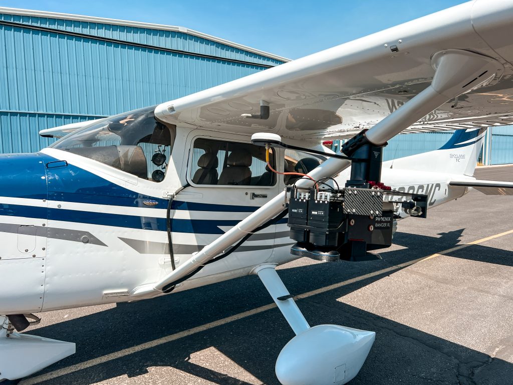
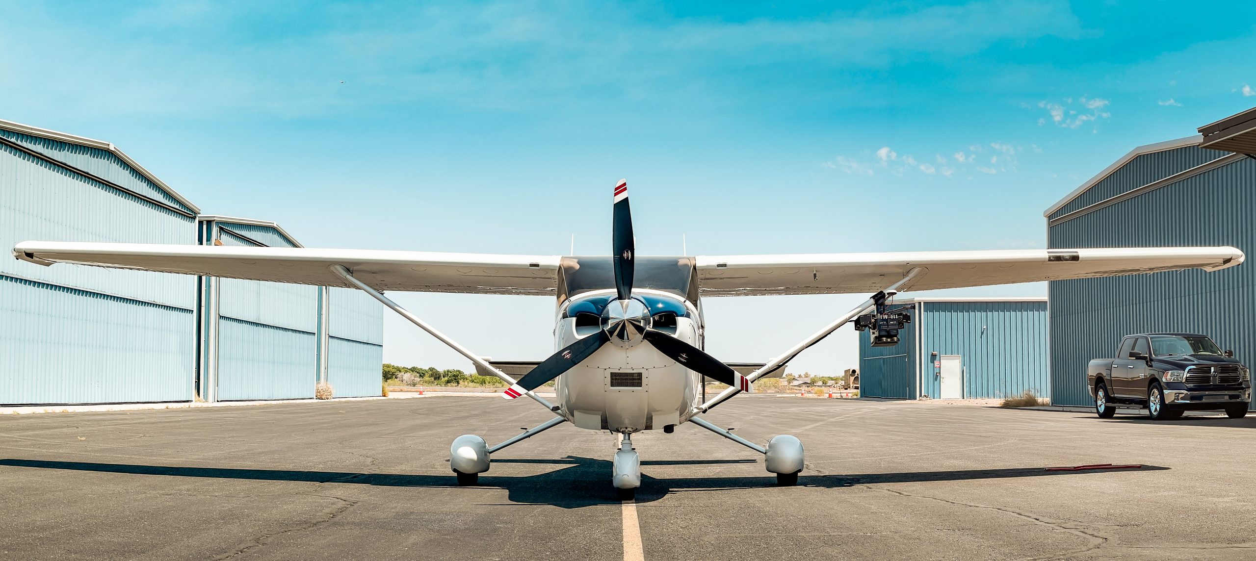
Collecting LiDAR and ortho-imagery on a large scale such as cities and counties is best left to fixed-wing platforms. This is the most cost effective way to collect data on a relatively simple project area. SkySkopes operates a Cessna Turbo 182T with a strut mounted LiDAR system. Utilizing the Reigl Vux-240 LiDAR system from Phoenix LiDAR, we are able to collect at altitudes greater than 2,000 feet above the ground. In addition to LiDAR data, there are two Phase One mapping cameras that can collect RGB and Multi-Spec imagery simultaneously.