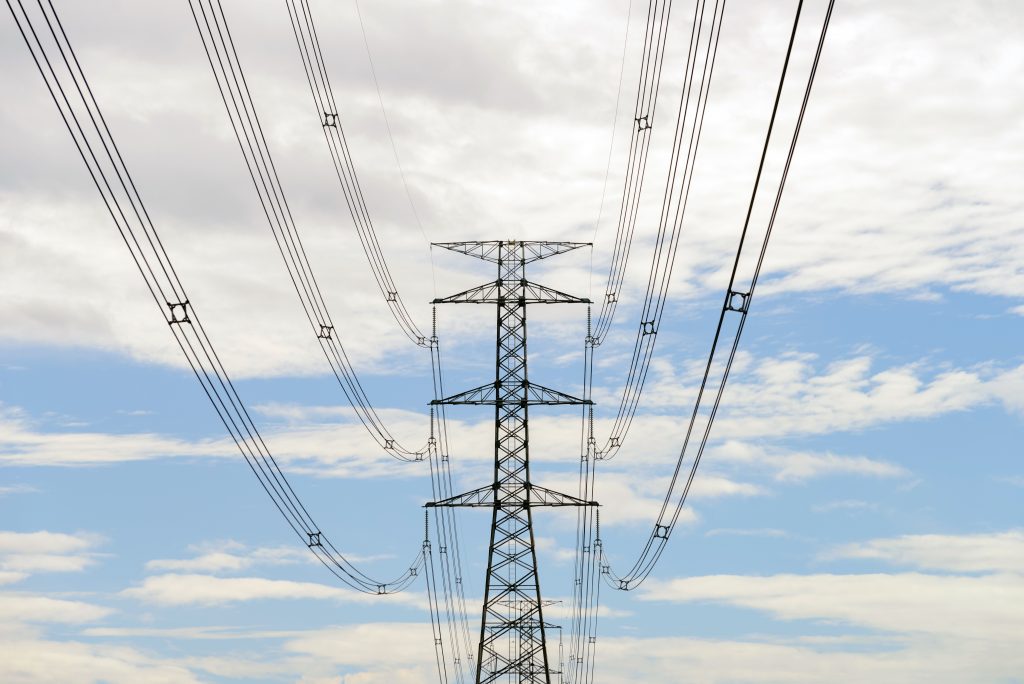
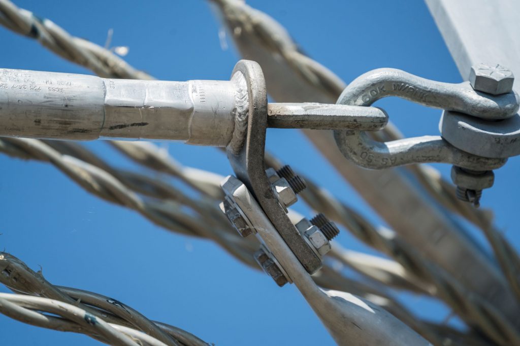
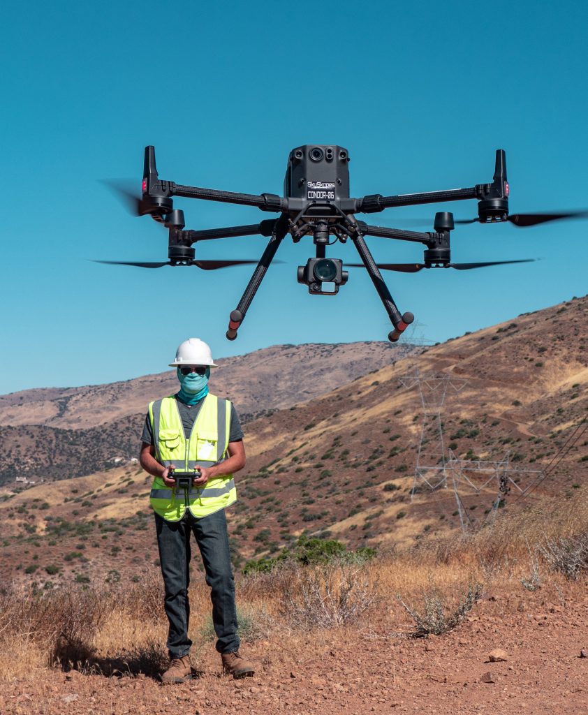
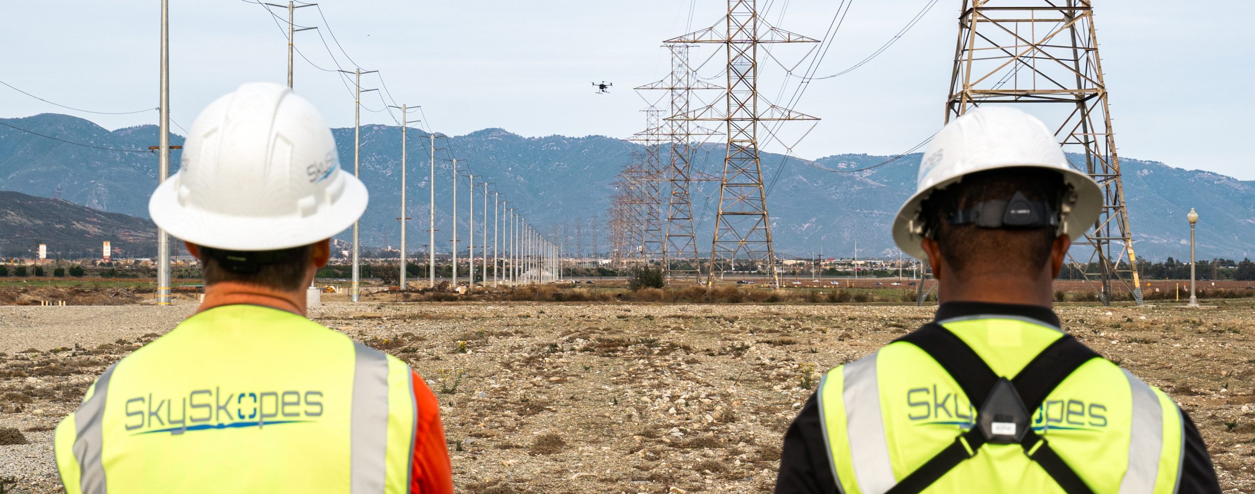
With SkySkopes; world-class aerial fleet and advanced sensors, you can capture an infinite number of angles with high resolution photography. Our highly trained team will analyze detailed imagery from large 550kV transmissions to 34kV distribution poles. SkySkopes data collection and analytics – combined with our team of GIS experts – improves our client’s reliability, availability, safety, and bottom line.
Electric Utility Solutions:
Wildfire Mitigation
Vegetation Management
Engineering Construction & Maintenance
Reliability & Availability
Regulatory Compliance
Asset/Equipment Location Audits
Project Highlight
Wildfire mitigation
As of 2022, SkySkopes has inspected over 100,000 structures as part of wildfire mitigation efforts in California. This work has included detailed visual inspections of transmission and distribution assets. This work is vital in keeping the assets, environment, and communities safe.
oil & GAS
OUR OIL & GAS EXPERIENCE
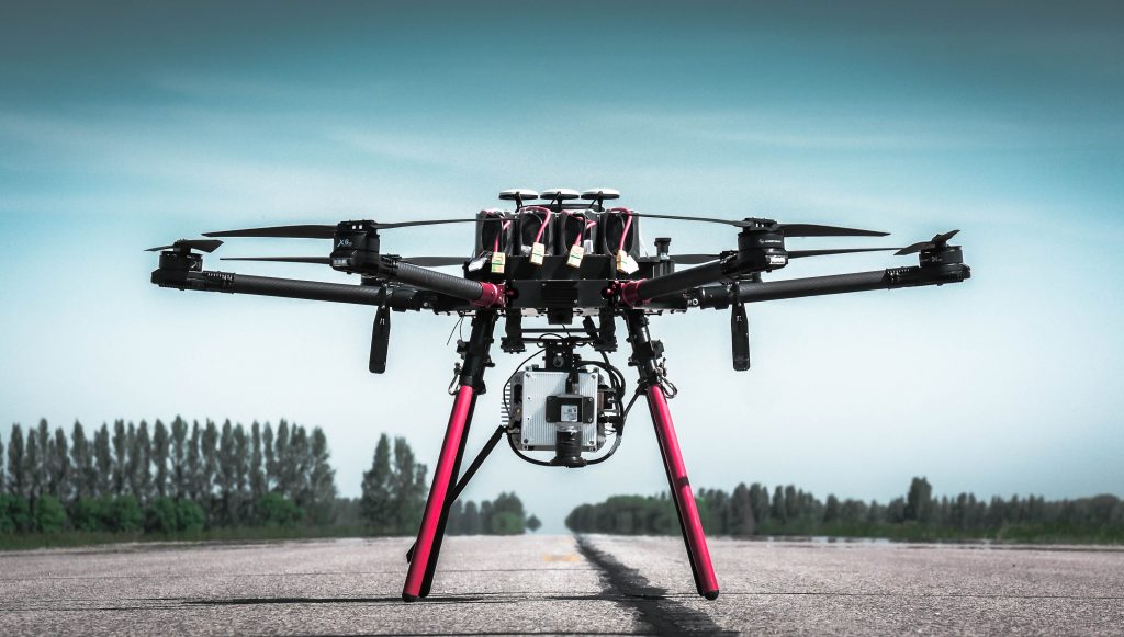
SkySkopes uses multiple platforms to detect fugitive gas emissions in the Upstream, Midstream, and Downstream segments of the Oil & Gas industry. Our resources and versatility enable our clients to make smart, actionable decisions. With SkySkopes data, safety is maximized, service interruptions are minimized, and costs are held in check.
Oil & Gas client’s end-to-end solution:
Methane Detection
Magnetometer Surveys
Depth of Cover
Volumetric Surveys
Erosion and Settling
Engineering and As-Built
Project Highlight
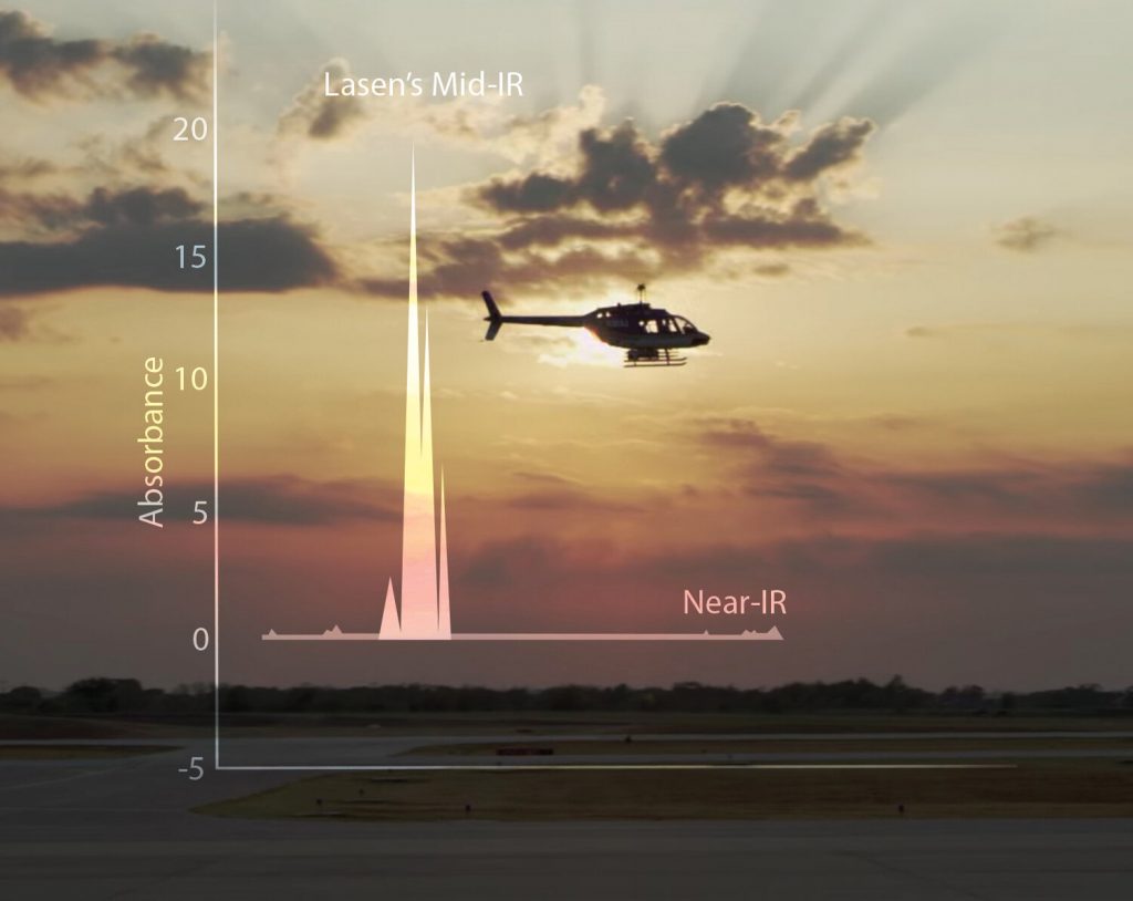
Leak Detection
Pipeline leak detection for methane gas has become more regulated over the past couple of years. SkySkopes has flown over 1,000 miles of pipeline and continues to expand.
Infrastructure
OUR INFRASTRUCTURE PROJECTS
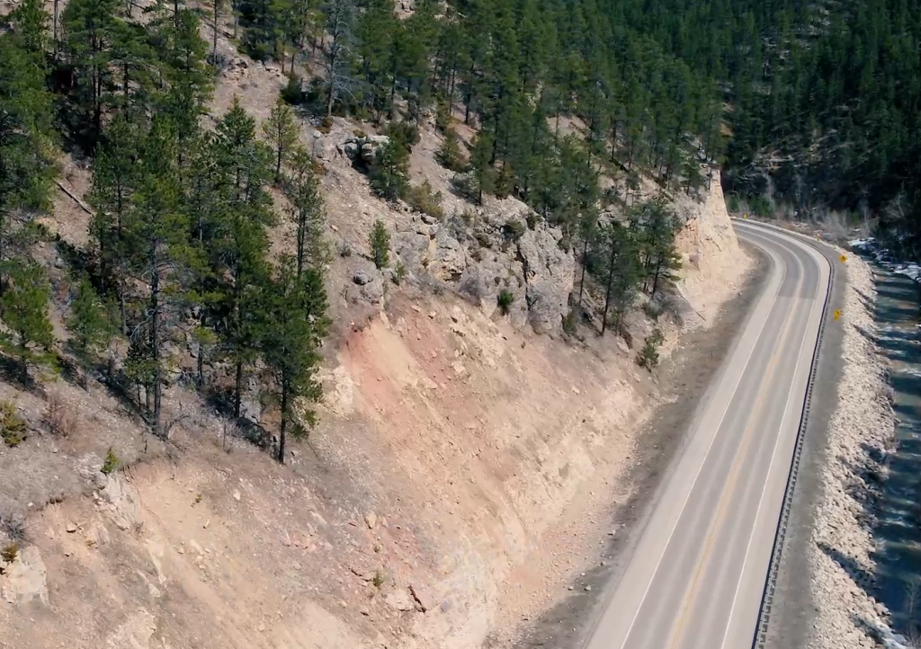
A preliminary survey is the foundation of each project. It provides background information and establishes all the physical details required of a proposed project. Our innovative sensor technology is world-class in its accuracy. The sensor data can produce a calibrated high-density LiDAR point cloud that can be utilized for planning, designing, and construction of new infrastructure.
Infrastructure client’s end-to-end solutions:
Preliminary Survey
CAD Integration
GIS Integration
Line Sighting
DOT Inspection & Modeling
Hydrology & Water Shed Erosion
Project Highlight
DOT Preliminary Survey
SkySkopes has been contracted to provide aerial and mobile LiDAR services for both the North Dakota Department of Transportation (NDDOT) and the South Dakota Department of Transportation (SDDOT).