
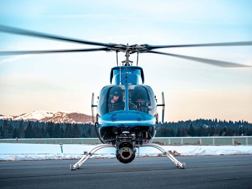
multi-sensor inspections
SkySkopes believes in changing how inspections are performed on electric utility assets. Traditionally, visual inspections are conducted with a lineman visually looking at poles while maneuvering the helicopter low and close to poles. While SkySkopes still offers these services, we believe utilizing the right sensors uncovers defects that cannot be seen visually while increasing altitude and thus, safety. Utilizing gimbals from Gyro-Stabilized Systems (GSS), SkySkopes is able to provide 4 data products from one gimbal: 100 megapixel RGB imagery, HD Radiometric Infrared, 4k Video, and Corona can all be captured in one flight providing a complete inspection of each asset. This paired with our LiDAR mapping system consolidates multiple flights from different vendors into one simple collection.
lidar mapping
Utilizing various LiDAR systems, SkySkopes is able to provide LiDAR data-sets for a variety of applications including vegetation management for electric utilities, ground change detection for the Oil and Gas Industry, and pre-construction surveys for engineering firms including watershed, highway surveys, and wide area pre-construction surveys. The Riegl VUX-240 LiDAR System allows for use in a variety of applications by easily changing acquisition settings to collect anything from hundreds of square miles of a county to detailed vegetation encroachments on powerlines. In addition to LiDAR, we are able to collect Multi-Spectral and RGB Imagery simultaneously. The helicopter is the perfect platform for any complex surveys such as powerlines with twists and turns, as well as challenging terrain environments where a fixed-wing would be unsafe.

leak detection
With evolving regulations surrounding fugitive gas emissions, SkySkopes offers leak detection services utilizing the ALPIS sensor from Lasen. This sensor changes the way companies deal with pipeline leaks by finding the smaller leaks before they turn into larger issues. This allows companies to turn to a more proactive approach. The sensor is able to collect precise leak location by visualizing the leak on a high-resolution geo-tagged image. The ALPIS system also is able to record HD video of the right-of-way. The system is laser based which allows for a higher and safer collection altitudes compared to other leak detection systems.